Forecast published 10/31/2024 at 8 p.m. MDT
Forecast Summary
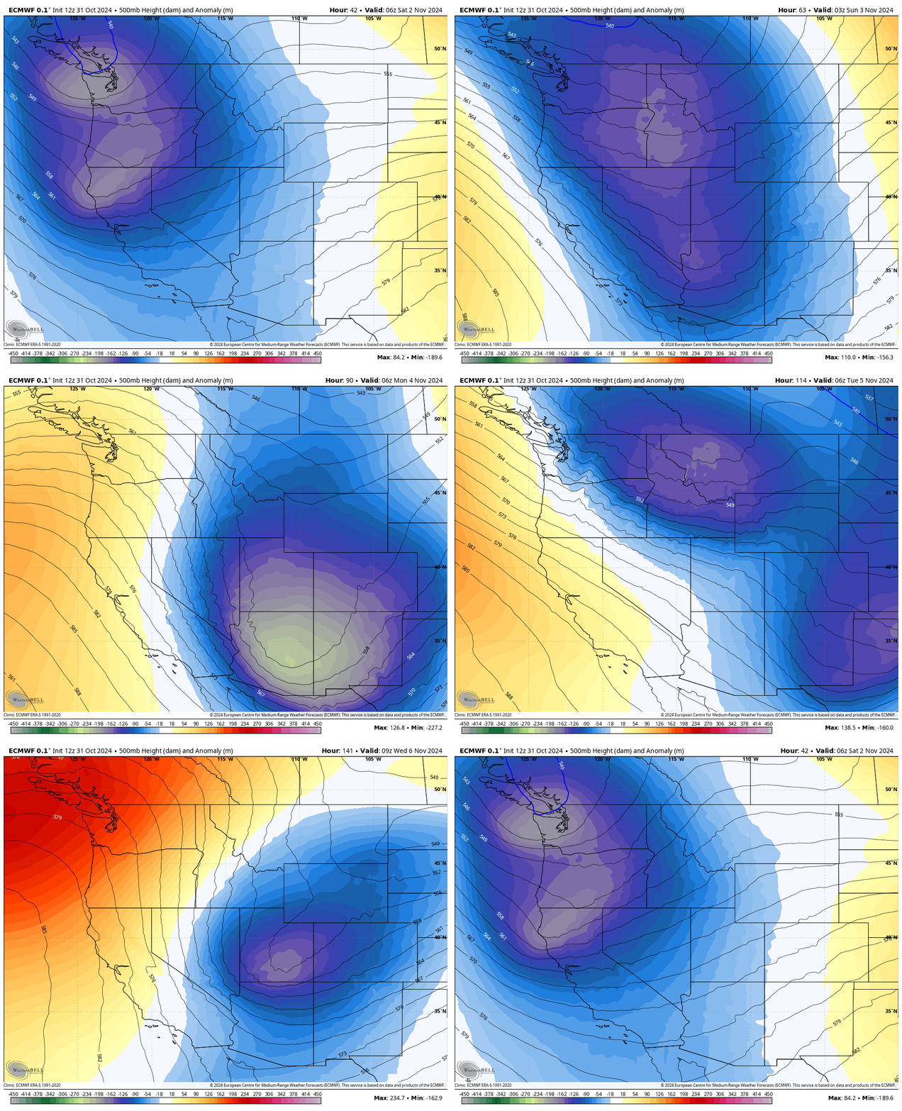
- An imposing trough is set to plunge into the Rockies this Saturday, heralding widespread rain and snow while sending temperatures plummeting below seasonal norms.
- This weekend will witness several inches of fresh snow gracing the higher elevations of Idaho, Montana, and Wyoming.
- A subsequent storm follows swiftly in the wake of the first, ensuring that snowfall persists and temperatures remain significantly lower than usual into early next week.

Currently, two low-pressure systems are coalescing over the Pacific Northwest, creating a dynamic trough that will slide toward the Four Corners region by Sunday. The leading edge of this trough will function as a cold front, poised to sweep across Eastern Idaho and Western Montana on Saturday afternoon, followed by Northwest Wyoming later that night.
As this cold front approaches, rain and snow showers will commence hours beforehand. Initially, snow levels will hover around 6,500 feet, but they are expected to drop to between 3,000 and 4,000 feet overnight.
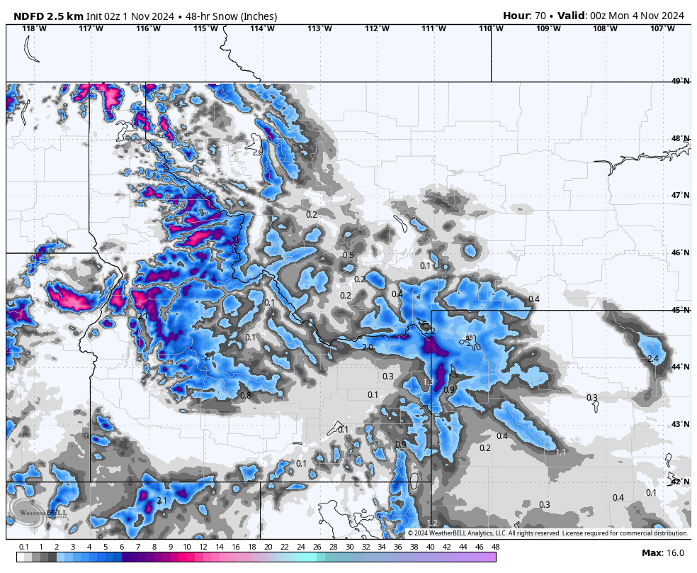
The initial storm is anticipated to deposit several inches of snowfall at elevations over 8,000 feet, with the higher mountain peaks potentially accumulating between 6 to 10 inches before the system departs on Sunday night.

NWS forecast snow totals through Sunday evening. Source: maps.weatherbell.com
Following a brief interlude on Monday morning, a second storm will materialize, unleashing yet another cold front that descends over the Northern Rockies by Monday evening and extending into the wee hours of Tuesday. This incoming precipitation, primarily in the form of snow, will initiate Monday evening and persist until Tuesday night or Wednesday morning.
Though it may appear smaller than its predecessor, this system is predicted to yield even more snow, thanks to the frigid temperatures established by the earlier storm. The colder air enhances snow-to-liquid ratios, allowing for greater snowfall accumulation from the same moisture influx. Expect frigid conditions in the mountains as November rolls in, with freezing temperatures anticipated from Saturday through Wednesday.
Forecast Snow Totals (SAT-WED):
- Tamarack (ID): 16-24 inches
- Bogus Basin (ID): 3-6 inches
- Sun Valley (ID): 2-5 inches
- Big Sky (MT): 5-10 inches
- Bridger Bowl (MT): 8-14 inches
- Whitefish (MT): 8-16 inches
- Jackson Hole (WY): 14-24 inches
- Grand Targhee (WY): 18-30 inches
Extended Forecast
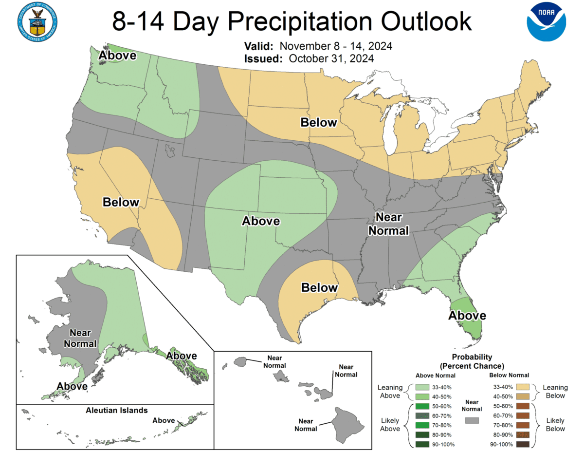
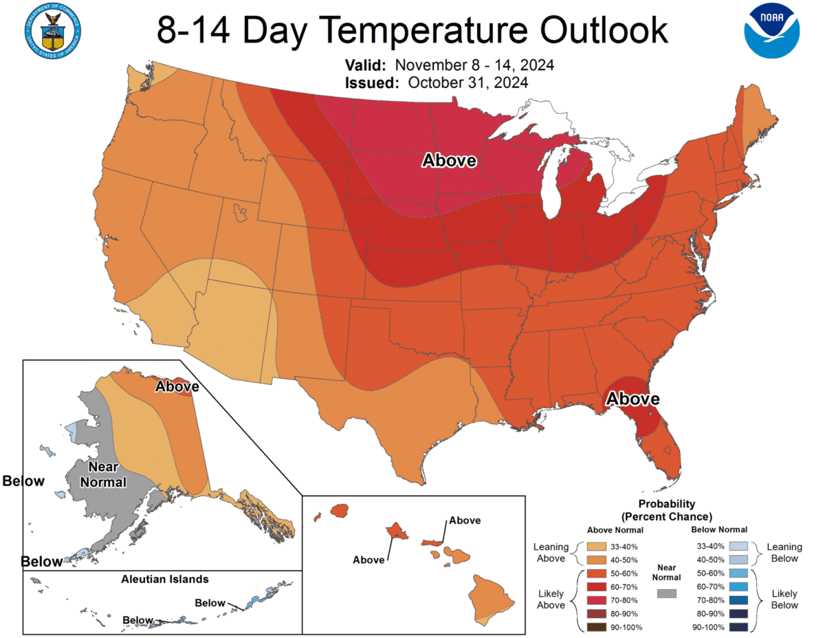
After the tumult of these two storms, a calmer period is anticipated. Nevertheless, indications of subdued storms are creeping into the models for next weekend and into the following week. Ultimately, the overarching pattern for the next couple of weeks appears to align with seasonal norms for this time of year.


